Path to Upper Northend House
Introduction
The photograph on this page of Path to Upper Northend House by Neil Owen as part of the Geograph project.
The Geograph project started in 2005 with the aim of publishing, organising and preserving representative images for every square kilometre of Great Britain, Ireland and the Isle of Man.

There are currently over 7.5m images from over 14,400 individuals and you can help contribute to the project by visiting https://www.geograph.org.uk
Path to Upper Northend House
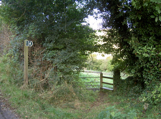
Image: © Neil Owen Taken: 18 Oct 2016
The path's course appears to have been altered over recent years but still largely drops down the hill.
Images are licensed for reuse under creativecommons.org/licenses/by-sa/2.0
Image Location
Latitude
51.420217
Longitude
-2.315472