Day House Lane
Introduction
The photograph on this page of Day House Lane by David Martin as part of the Geograph project.
The Geograph project started in 2005 with the aim of publishing, organising and preserving representative images for every square kilometre of Great Britain, Ireland and the Isle of Man.

There are currently over 7.5m images from over 14,400 individuals and you can help contribute to the project by visiting https://www.geograph.org.uk
Day House Lane
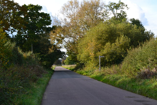
Image: © David Martin Taken: 21 Oct 2016
The footpath entrance seen here is northwest of the position shown on the Ordnance Survey map, which has been subject to long-term closure to make way for new housing development.
Images are licensed for reuse under creativecommons.org/licenses/by-sa/2.0
Image Location
Latitude
51.537141
Longitude
-1.734086