Floating Dry Dock
Introduction
The photograph on this page of Floating Dry Dock by Glyn Baker as part of the Geograph project.
The Geograph project started in 2005 with the aim of publishing, organising and preserving representative images for every square kilometre of Great Britain, Ireland and the Isle of Man.

There are currently over 7.5m images from over 14,400 individuals and you can help contribute to the project by visiting https://www.geograph.org.uk
Floating Dry Dock
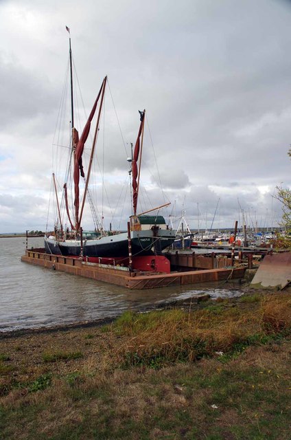
Image: © Glyn Baker Taken: 20 Oct 2016
In for a refit is SB Thistle http://www.top-sail.co.uk/the-barges/thistle/ see the dock at low tide at Image
Images are licensed for reuse under creativecommons.org/licenses/by-sa/2.0
Image Location
Latitude
51.688813
Longitude
0.751871