Gordonstoun Fire and Mountain Rescue Stations
Introduction
The photograph on this page of Gordonstoun Fire and Mountain Rescue Stations by Anne Burgess as part of the Geograph project.
The Geograph project started in 2005 with the aim of publishing, organising and preserving representative images for every square kilometre of Great Britain, Ireland and the Isle of Man.

There are currently over 7.5m images from over 14,400 individuals and you can help contribute to the project by visiting https://www.geograph.org.uk
Gordonstoun Fire and Mountain Rescue Stations
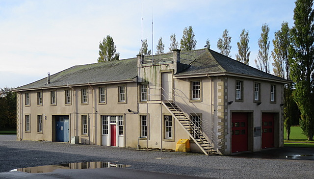
Image: © Anne Burgess Taken: 18 Oct 2016
As well as a fire brigade, the school operates a mountain rescue team, the headquarters of which are in the left-hand end of this building, behind the blue door.
Images are licensed for reuse under creativecommons.org/licenses/by-sa/2.0
Image Location
Latitude
57.705766
Longitude
-3.365424