Thames at Raven's Ait
Introduction
The photograph on this page of Thames at Raven's Ait by Derek Harper as part of the Geograph project.
The Geograph project started in 2005 with the aim of publishing, organising and preserving representative images for every square kilometre of Great Britain, Ireland and the Isle of Man.

There are currently over 7.5m images from over 14,400 individuals and you can help contribute to the project by visiting https://www.geograph.org.uk
Thames at Raven's Ait
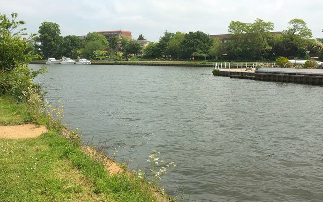
Image: © Derek Harper Taken: 29 May 2016
The northern tip of the river island, seen from the Thames Path. On the other bank are blocks of flats set back a little from the river.
Images are licensed for reuse under creativecommons.org/licenses/by-sa/2.0
Image Location
Latitude
51.398853
Longitude
-0.31091