Hayle Church
Introduction
The photograph on this page of Hayle Church by Brian Westlake as part of the Geograph project.
The Geograph project started in 2005 with the aim of publishing, organising and preserving representative images for every square kilometre of Great Britain, Ireland and the Isle of Man.

There are currently over 7.5m images from over 14,400 individuals and you can help contribute to the project by visiting https://www.geograph.org.uk
Hayle Church
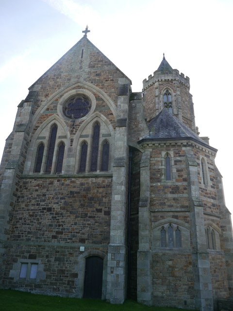
Image: © Brian Westlake Taken: 9 Oct 2016
The stubby spire used to have a weathervane which was an intersected trig station but the church still carries a flush bracket bench mark lower right. See http://www.geograph.org.uk/photo/5159950 for a close-up and http://www.bench-marks.org.uk/bm19661 for details.
Images are licensed for reuse under creativecommons.org/licenses/by-sa/2.0
Image Location
Latitude
50.187825
Longitude
-5.420839