London Road
Introduction
The photograph on this page of London Road by Ian Capper as part of the Geograph project.
The Geograph project started in 2005 with the aim of publishing, organising and preserving representative images for every square kilometre of Great Britain, Ireland and the Isle of Man.

There are currently over 7.5m images from over 14,400 individuals and you can help contribute to the project by visiting https://www.geograph.org.uk
London Road
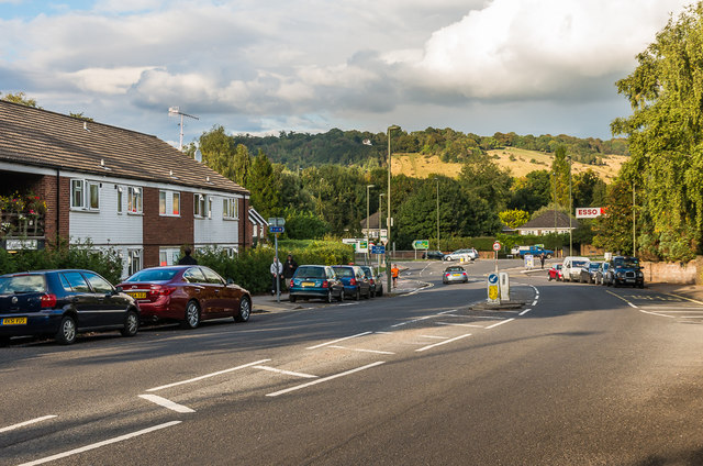
Image: © Ian Capper Taken: 10 Oct 2016
Looking along London Road towards its junction with the A24 Deepdene Avenue (which north from the junction takes over the name London Road). This is the original main road through Dorking, before Deepdene Avenue was built in the 1930s as the town bypass. In the background is Box Hill.
Images are licensed for reuse under creativecommons.org/licenses/by-sa/2.0
Image Location
Latitude
51.237269
Longitude
-0.325558