Tutts Close
Introduction
The photograph on this page of Tutts Close by Ian Capper as part of the Geograph project.
The Geograph project started in 2005 with the aim of publishing, organising and preserving representative images for every square kilometre of Great Britain, Ireland and the Isle of Man.

There are currently over 7.5m images from over 14,400 individuals and you can help contribute to the project by visiting https://www.geograph.org.uk
Tutts Close
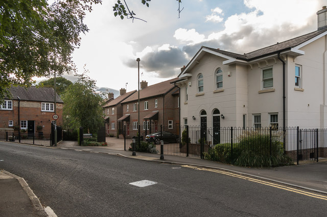
Image: © Ian Capper Taken: 10 Oct 2016
A 2011 development off London Road on the site of a garage operated by R. W. Tutt & Co Ltd, now based in Curtis Road in Dorking. The building on the far left of the photo is Rose Cottage, an early - mid 19th Century grade II listed house - see https://www.historicengland.org.uk/listing/the-list/list-entry/1028874.
Images are licensed for reuse under creativecommons.org/licenses/by-sa/2.0
Image Location
Latitude
51.236597
Longitude
-0.327001