Head of Little Wakering Creek
Introduction
The photograph on this page of Head of Little Wakering Creek by Robin Webster as part of the Geograph project.
The Geograph project started in 2005 with the aim of publishing, organising and preserving representative images for every square kilometre of Great Britain, Ireland and the Isle of Man.

There are currently over 7.5m images from over 14,400 individuals and you can help contribute to the project by visiting https://www.geograph.org.uk
Head of Little Wakering Creek
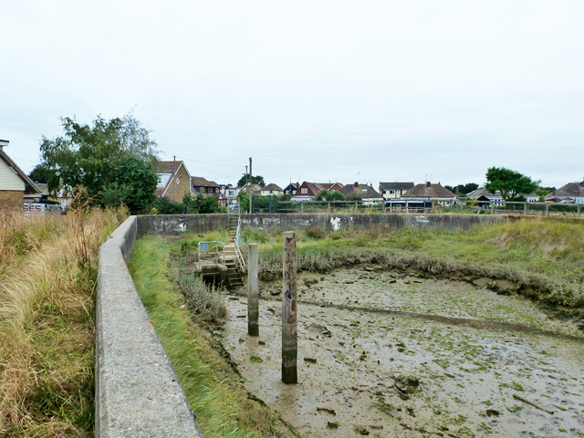
Image: © Robin Webster Taken: 11 Aug 2015
The sluice is called 'Barling Creek Sluice'. Who is right, Ordnance Survey or Environment Agency?
Images are licensed for reuse under creativecommons.org/licenses/by-sa/2.0
Image Location
Latitude
51.566602
Longitude
0.785611