Blaylock Riggs Common
Introduction
The photograph on this page of Blaylock Riggs Common by Rose and Trev Clough as part of the Geograph project.
The Geograph project started in 2005 with the aim of publishing, organising and preserving representative images for every square kilometre of Great Britain, Ireland and the Isle of Man.

There are currently over 7.5m images from over 14,400 individuals and you can help contribute to the project by visiting https://www.geograph.org.uk
Blaylock Riggs Common
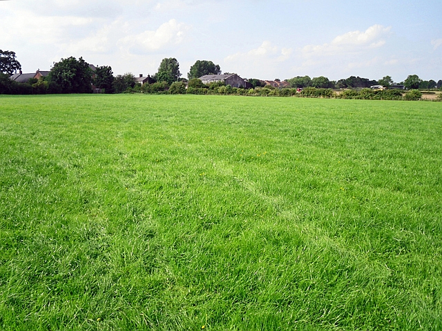
Image: © Rose and Trev Clough Taken: 18 Aug 2016
A field which is registered as common land. There is a 1980 document from the Commons Commissioner online, deciding ownership http://www.acraew.org.uk/sites/default/files/uploads/Cumbria/BLAYLOCK%20RIGGS%20COMMON%20-%20STANWIX%20RURAL%20NO.CL.55.pdf . The field is used for grazing. There is a public footpath diagonally across it.
Images are licensed for reuse under creativecommons.org/licenses/by-sa/2.0
Image Location
Latitude
54.920629
Longitude
-2.937942