Dulas valley
Introduction
The photograph on this page of Dulas valley by Jonathan Wilkins as part of the Geograph project.
The Geograph project started in 2005 with the aim of publishing, organising and preserving representative images for every square kilometre of Great Britain, Ireland and the Isle of Man.

There are currently over 7.5m images from over 14,400 individuals and you can help contribute to the project by visiting https://www.geograph.org.uk
Dulas valley
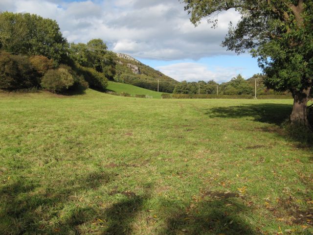
Image: © Jonathan Wilkins Taken: 17 Oct 2016
Looking along the public footpath towards Plas Newydd, through fields in the Dulas valley. Craig y Forwyn rises in the left background (see Image).
Images are licensed for reuse under creativecommons.org/licenses/by-sa/2.0
Image Location


Leaflet Map data © OpenStreetMap
Latitude
53.268011
Longitude
-3.638202