Moordown: varied surfaces on footpath M09
Introduction
The photograph on this page of Moordown: varied surfaces on footpath M09 by Chris Downer as part of the Geograph project.
The Geograph project started in 2005 with the aim of publishing, organising and preserving representative images for every square kilometre of Great Britain, Ireland and the Isle of Man.

There are currently over 7.5m images from over 14,400 individuals and you can help contribute to the project by visiting https://www.geograph.org.uk
Moordown: varied surfaces on footpath M09
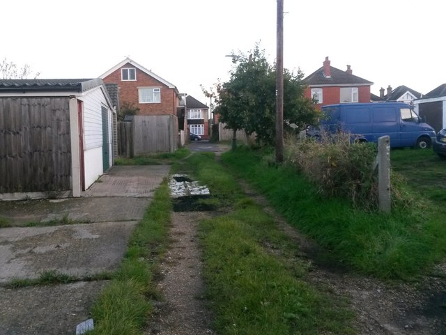
Image: © Chris Downer Taken: 17 Oct 2016
This short public footpath leads from Oakwood Road to Oakwood Road - the road is three sides of a square and the path leads through the middle of it. It acts as rear garage access to odd numbered houses and also a segment of Malvern Road, the fourth side of the square. The usual grass-and-gravel surface is embellished just ahead with what looks like rubber doormat-type patches and also broken-up concrete slabs painted quite bright white. See Image for a view of the path from the end behind us, and Image for a view towards us from just ahead.
Images are licensed for reuse under creativecommons.org/licenses/by-sa/2.0
Image Location
Latitude
50.750475
Longitude
-1.866421