Townsend: footpath K47 leaves Ibbertson Road
Introduction
The photograph on this page of Townsend: footpath K47 leaves Ibbertson Road by Chris Downer as part of the Geograph project.
The Geograph project started in 2005 with the aim of publishing, organising and preserving representative images for every square kilometre of Great Britain, Ireland and the Isle of Man.

There are currently over 7.5m images from over 14,400 individuals and you can help contribute to the project by visiting https://www.geograph.org.uk
Townsend: footpath K47 leaves Ibbertson Road
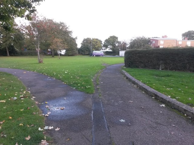
Image: © Chris Downer Taken: 16 Oct 2016
The pavement of Ibbertson Road, left, skirts a tree out of picture, while another pavement heads right to pass the frontages of some bungalows. Meanwhile, a public right of way, footpath K47, heads directly ahead to cut across the triangular grass area and meet Throop Road. The course of the right of way appears to be mapped dead-straight, through what is now a car park for the distant block of flats. There is a tarmac surface at this end, as can be seen, but this fizzles out midway across the grass. See Image for the next photo on the course of the public footpath.
Images are licensed for reuse under creativecommons.org/licenses/by-sa/2.0
Image Location
Latitude
50.751688
Longitude
-1.830979