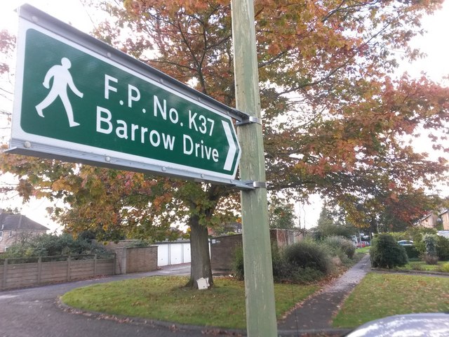
Townsend: sign for footpath K37
Introduction
The photograph on this page of Townsend: sign for footpath K37 by Chris Downer as part of the Geograph project.
The Geograph project started in 2005 with the aim of publishing, organising and preserving representative images for every square kilometre of Great Britain, Ireland and the Isle of Man.
There are currently over 7.5m images from over 14,400 individuals and you can help contribute to the project by visiting https://www.geograph.org.uk

Image: © Chris Downer Taken: 16 Oct 2016
At the dead end of Ibbertson Way, here, the public footpath heads off at right angles and leads the short distance to Barrow Drive, whose dead end is in the background - the houses of both roads form a virtually unbroken row (curving round to the right). Due to confined space and the height of the sign up the lamppost, I have had to hold the camera at full stretch above my head - see Image for a slightly more natural view along the path.

