Bridleway south from Colby Lane, after rain
Introduction
The photograph on this page of Bridleway south from Colby Lane, after rain by Christine Johnstone as part of the Geograph project.
The Geograph project started in 2005 with the aim of publishing, organising and preserving representative images for every square kilometre of Great Britain, Ireland and the Isle of Man.

There are currently over 7.5m images from over 14,400 individuals and you can help contribute to the project by visiting https://www.geograph.org.uk
Bridleway south from Colby Lane, after rain
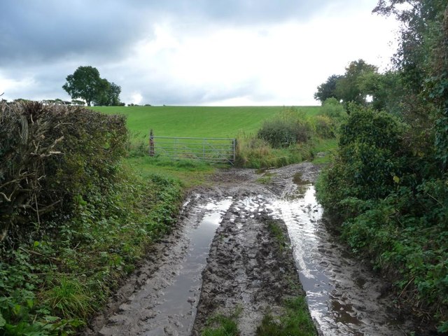
Image: © Christine Johnstone Taken: 13 Oct 2016
Well, it is mapped with a stream running down it.
Images are licensed for reuse under creativecommons.org/licenses/by-sa/2.0
Image Location
Latitude
54.571141
Longitude
-2.495863