All Hallows, Midanbury
Introduction
The photograph on this page of All Hallows, Midanbury by Bill Boaden as part of the Geograph project.
The Geograph project started in 2005 with the aim of publishing, organising and preserving representative images for every square kilometre of Great Britain, Ireland and the Isle of Man.

There are currently over 7.5m images from over 14,400 individuals and you can help contribute to the project by visiting https://www.geograph.org.uk
All Hallows, Midanbury
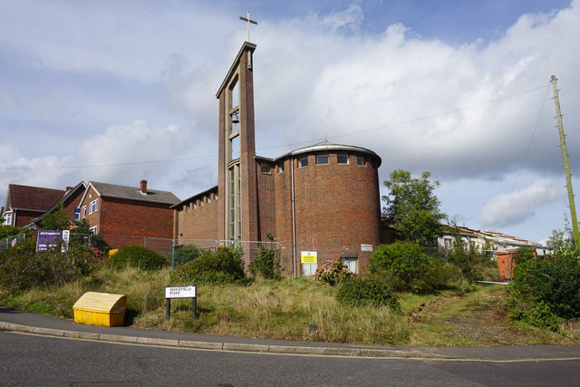
Image: © Bill Boaden Taken: 29 Sep 2016
Once part of Bitterne Park Parish, but now closed and up for sale. A sign warns of demolition, but it does not look like it is being demolished yet.
Images are licensed for reuse under creativecommons.org/licenses/by-sa/2.0
Image Location
Latitude
50.924608
Longitude
-1.361121