Track of old railway, Allhallows
Introduction
The photograph on this page of Track of old railway, Allhallows by Robin Webster as part of the Geograph project.
The Geograph project started in 2005 with the aim of publishing, organising and preserving representative images for every square kilometre of Great Britain, Ireland and the Isle of Man.

There are currently over 7.5m images from over 14,400 individuals and you can help contribute to the project by visiting https://www.geograph.org.uk
Track of old railway, Allhallows
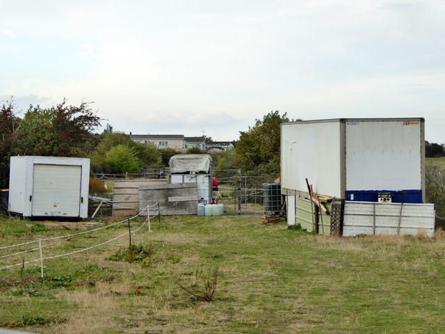
Image: © Robin Webster Taken: 15 Oct 2016
Looking from the site of the Binney Road level crossing towards the terminus of the branch which only existed from 1932 to 1961. The houses are built on the track bed just before the line fanned for the terminus and its sidings.
Images are licensed for reuse under creativecommons.org/licenses/by-sa/2.0
Image Location
Latitude
51.466801
Longitude
0.652523