Duncan Mitchell house building site in the north of Monmouth
Introduction
The photograph on this page of Duncan Mitchell house building site in the north of Monmouth by Jaggery as part of the Geograph project.
The Geograph project started in 2005 with the aim of publishing, organising and preserving representative images for every square kilometre of Great Britain, Ireland and the Isle of Man.

There are currently over 7.5m images from over 14,400 individuals and you can help contribute to the project by visiting https://www.geograph.org.uk
Duncan Mitchell house building site in the north of Monmouth
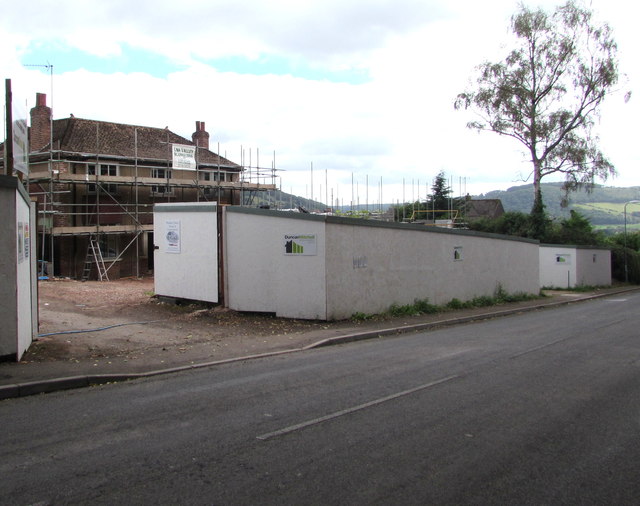
Image: © Jaggery Taken: 21 Aug 2016
Viewed across the A466 Hereford Road in August 2016. A Duncan Mitchell Developments notice states Land acquired for development. 3 four/five bedroom executive homes coming soon.
Images are licensed for reuse under creativecommons.org/licenses/by-sa/2.0
Image Location
Latitude
51.823808
Longitude
-2.712795