The Knots of Willowbank
Introduction
The photograph on this page of The Knots of Willowbank by John Baker as part of the Geograph project.
The Geograph project started in 2005 with the aim of publishing, organising and preserving representative images for every square kilometre of Great Britain, Ireland and the Isle of Man.

There are currently over 7.5m images from over 14,400 individuals and you can help contribute to the project by visiting https://www.geograph.org.uk
The Knots of Willowbank
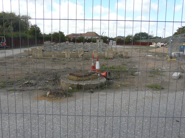
Image: © John Baker Taken: 2 Oct 2016
The foundations of another terrace of houses appear to have been constructed, seen on the right of Image, but there are also piles of bricks and breezeblocks on the site.
Images are licensed for reuse under creativecommons.org/licenses/by-sa/2.0
Image Location
Latitude
51.275958
Longitude
1.343754