Turning circle at road end at Brynygwenin
Introduction
The photograph on this page of Turning circle at road end at Brynygwenin by Trevor Littlewood as part of the Geograph project.
The Geograph project started in 2005 with the aim of publishing, organising and preserving representative images for every square kilometre of Great Britain, Ireland and the Isle of Man.

There are currently over 7.5m images from over 14,400 individuals and you can help contribute to the project by visiting https://www.geograph.org.uk
Turning circle at road end at Brynygwenin
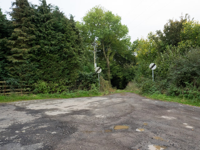
Image: © Trevor Littlewood Taken: 14 Oct 2016
Brynygwenin is a small linear village close to Abergavenny. There's one road in which ends at the unremarkable turning circle in the image. What is remarkable however is the signage at the tarmacked road end; having been limited to 30 mph through the settlement one can apparently travel at 60 mph along the steeply descending grassy way!
Images are licensed for reuse under creativecommons.org/licenses/by-sa/2.0
Image Location
Latitude
51.835763
Longitude
-2.976112