Wesleyan School
Introduction
The photograph on this page of Wesleyan School by Neil Owen as part of the Geograph project.
The Geograph project started in 2005 with the aim of publishing, organising and preserving representative images for every square kilometre of Great Britain, Ireland and the Isle of Man.

There are currently over 7.5m images from over 14,400 individuals and you can help contribute to the project by visiting https://www.geograph.org.uk
Wesleyan School
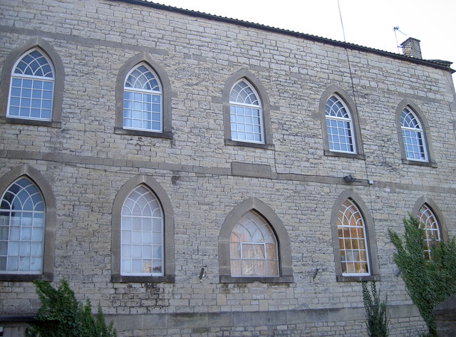
Image: © Neil Owen Taken: 11 Oct 2016
The large buildings at the top of Park Road form a group connected with the Methodist Chapel. This wall has a stone that proclaims it is the Wesleyan School of 1843. In more recent times it was the town library and information centre, but this was relocated to the Hill Court shopping centre just across the way in 2013. See Image] for the facing wall.
Images are licensed for reuse under creativecommons.org/licenses/by-sa/2.0
Image Location
Latitude
51.30591
Longitude
-2.502181