Accessible angling area, under construction
Introduction
The photograph on this page of Accessible angling area, under construction by Christine Johnstone as part of the Geograph project.
The Geograph project started in 2005 with the aim of publishing, organising and preserving representative images for every square kilometre of Great Britain, Ireland and the Isle of Man.

There are currently over 7.5m images from over 14,400 individuals and you can help contribute to the project by visiting https://www.geograph.org.uk
Accessible angling area, under construction
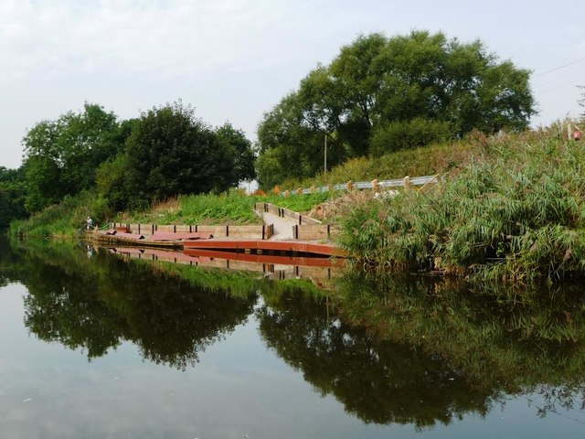
Image: © Christine Johnstone Taken: 13 Sep 2016
On the north bank of the River Weaver, south-west of Bartington Hall Farm.
Images are licensed for reuse under creativecommons.org/licenses/by-sa/2.0
Image Location
Latitude
53.281402
Longitude
-2.608136