Entrance to Smiths Dock, North Shields
Introduction
The photograph on this page of Entrance to Smiths Dock, North Shields by Graham Robson as part of the Geograph project.
The Geograph project started in 2005 with the aim of publishing, organising and preserving representative images for every square kilometre of Great Britain, Ireland and the Isle of Man.

There are currently over 7.5m images from over 14,400 individuals and you can help contribute to the project by visiting https://www.geograph.org.uk
Entrance to Smiths Dock, North Shields
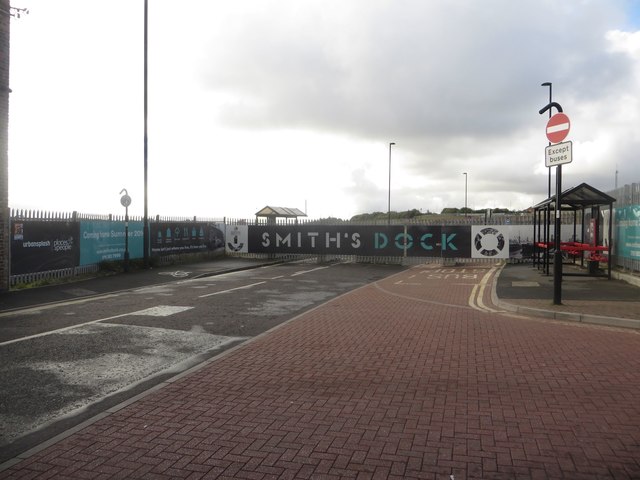
Image: © Graham Robson Taken: 9 Oct 2016
The gated entrance to the site of a housing development in North Shields. The banners around the entrance suggest that the development is happening in Late summer 2016, however part of the way through October construction does not appear to have started.
Images are licensed for reuse under creativecommons.org/licenses/by-sa/2.0
Image Location


Leaflet Map data © OpenStreetMap
Latitude
55.003324
Longitude
-1.445446