Canvey Heights Country Park
Introduction
The photograph on this page of Canvey Heights Country Park by Glyn Baker as part of the Geograph project.
The Geograph project started in 2005 with the aim of publishing, organising and preserving representative images for every square kilometre of Great Britain, Ireland and the Isle of Man.

There are currently over 7.5m images from over 14,400 individuals and you can help contribute to the project by visiting https://www.geograph.org.uk
Canvey Heights Country Park
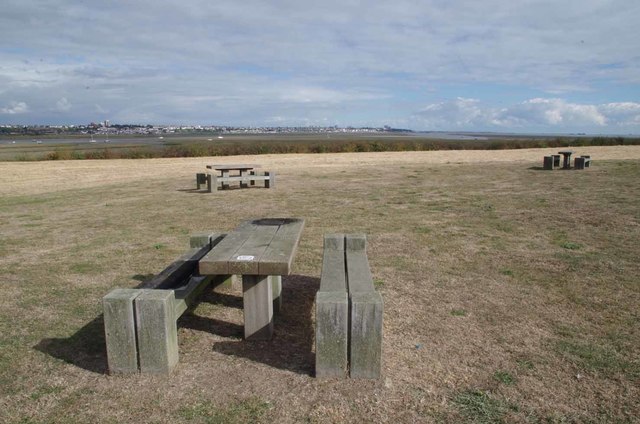
Image: © Glyn Baker Taken: 9 Oct 2016
This area must be oversupplied with ignorant morons! Despite the warning labels on each table saying "no fires no BBQs" three out of the five picnic benches have been ruined by idiots using disposable BBQs on wooden tables.....ho hum. What makes me wonder is why in the early to mid twentieth century this wasn't the first area of Canvey Island to be built on after all it is just about the only bit above sea level!
Images are licensed for reuse under creativecommons.org/licenses/by-sa/2.0
Image Location
Latitude
51.524722
Longitude
0.620423