Newish housing on Hythe waterfront
Introduction
The photograph on this page of Newish housing on Hythe waterfront by Peter Facey as part of the Geograph project.
The Geograph project started in 2005 with the aim of publishing, organising and preserving representative images for every square kilometre of Great Britain, Ireland and the Isle of Man.

There are currently over 7.5m images from over 14,400 individuals and you can help contribute to the project by visiting https://www.geograph.org.uk
Newish housing on Hythe waterfront
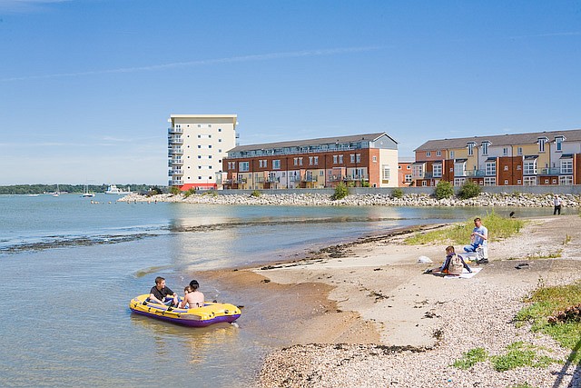
Image: © Peter Facey Taken: 3 Aug 2007
The lefthand building is the most recent and is called The Lantern Building (see also Image ). The other housing shown may possibly be called Landings, but the far side of it is called Davidson Close.
Images are licensed for reuse under creativecommons.org/licenses/by-sa/2.0
Image Location
Latitude
50.869207
Longitude
-1.393569