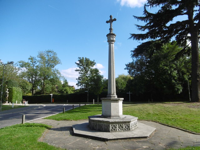
Totteridge War Memorial
Introduction
The photograph on this page of Totteridge War Memorial by Marathon as part of the Geograph project.
The Geograph project started in 2005 with the aim of publishing, organising and preserving representative images for every square kilometre of Great Britain, Ireland and the Isle of Man.
There are currently over 7.5m images from over 14,400 individuals and you can help contribute to the project by visiting https://www.geograph.org.uk

Image: © Marathon Taken: 5 Oct 2016
In Nairn's London (1966) Ian Nairn says of Totteridge: "More of a phenomenon than a village. It is a ridge-back, south-west of Barnet, and the views are green in both directions. Totteridge village, at the east end of the ridge, is restrained, expensive, and not really remarkable except for the sweet weatherboarded tower of the church, built 1790 and not looking a day over eighteen." The war memorial is on a small green to the north of the church where Barnet Lane meets the A5109 (Totteridge Village).

