Elbolton to Pendle
Introduction
The photograph on this page of Elbolton to Pendle by Carroll Pierce as part of the Geograph project.
The Geograph project started in 2005 with the aim of publishing, organising and preserving representative images for every square kilometre of Great Britain, Ireland and the Isle of Man.

There are currently over 7.5m images from over 14,400 individuals and you can help contribute to the project by visiting https://www.geograph.org.uk
Elbolton to Pendle
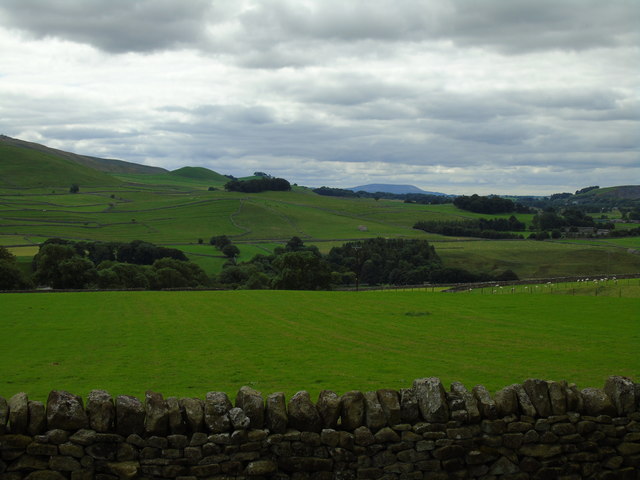
Image: © Carroll Pierce Taken: 14 Aug 2016
Taken on the path between Grassington Park Estate Meadows and High Lane, Grassington, North Yorkshire, I am looking south west past Elbolton and its smaller hilly neighbours, Stebden and Skelterton to Pendle Hill, Lancashire.
Images are licensed for reuse under creativecommons.org/licenses/by-sa/2.0
Image Location
Latitude
54.066629
Longitude
-1.985296