St Paul's Church, Yelverton
Introduction
The photograph on this page of St Paul's Church, Yelverton by Tony Atkin as part of the Geograph project.
The Geograph project started in 2005 with the aim of publishing, organising and preserving representative images for every square kilometre of Great Britain, Ireland and the Isle of Man.

There are currently over 7.5m images from over 14,400 individuals and you can help contribute to the project by visiting https://www.geograph.org.uk
St Paul's Church, Yelverton
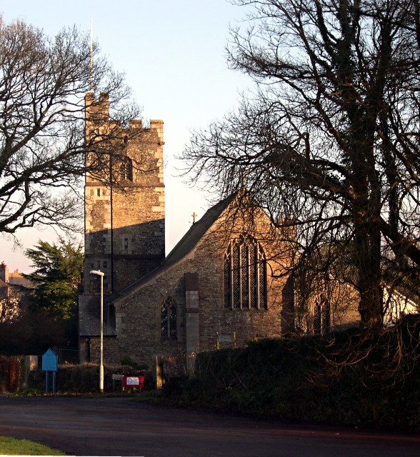
Image: © Tony Atkin Taken: 11 Dec 2005
This church was built around 1910 when Yelverton was part of Buckland Monachorum Parish. While nearby houses had their upper storeys removed in the second world war to accommodate aircraft landing on the nearby airfield, the church avoided this fate, although it was fitted with a red light after it was struck by an aircraft.
Images are licensed for reuse under creativecommons.org/licenses/by-sa/2.0
Image Location


Leaflet Map data © OpenStreetMap
Latitude
50.490744
Longitude
-4.086675