Bournemouth: Carlton Walk sign on footpath D03
Introduction
The photograph on this page of Bournemouth: Carlton Walk sign on footpath D03 by Chris Downer as part of the Geograph project.
The Geograph project started in 2005 with the aim of publishing, organising and preserving representative images for every square kilometre of Great Britain, Ireland and the Isle of Man.

There are currently over 7.5m images from over 14,400 individuals and you can help contribute to the project by visiting https://www.geograph.org.uk
Bournemouth: Carlton Walk sign on footpath D03
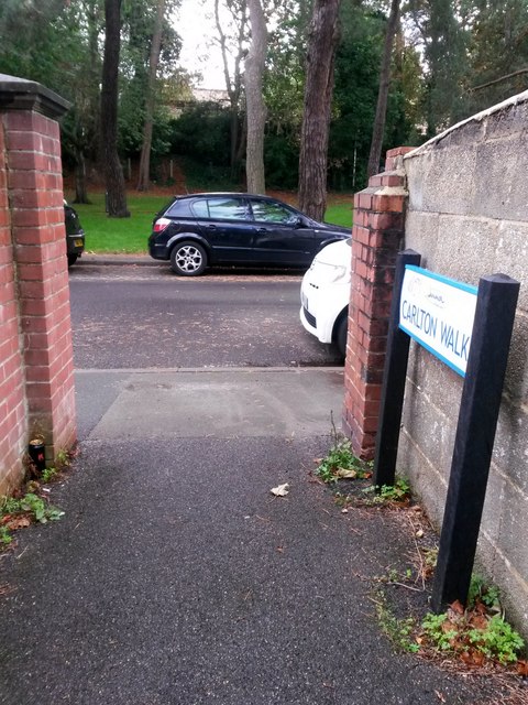
Image: © Chris Downer Taken: 30 Sep 2016
This public footpath is a steepish alley leading down from Carlton Road behind us onto Spencer Road. We see it here as it reaches the bottom, and see alongside us a sign marked Carlton Walk. This is part of a fairly recent safety initiative in several parts of Bournemouth, whereby paths are named so that, in any emergency, one can give the name of the path rather than a description of the location which one might not know well. See Image for the view up the path from ahead, and Image for the next view on the path behind us, with links to further pictures on the route.
Images are licensed for reuse under creativecommons.org/licenses/by-sa/2.0
Image Location
Latitude
50.725641
Longitude
-1.85459