Tafarn Sinc signboard
Introduction
The photograph on this page of Tafarn Sinc signboard by Natasha Ceridwen de Chroustchoff as part of the Geograph project.
The Geograph project started in 2005 with the aim of publishing, organising and preserving representative images for every square kilometre of Great Britain, Ireland and the Isle of Man.

There are currently over 7.5m images from over 14,400 individuals and you can help contribute to the project by visiting https://www.geograph.org.uk
Tafarn Sinc signboard
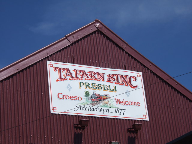
Image: © Natasha Ceridwen de Chroustchoff Taken: 31 Jul 2007
The sign gives the date the pub was built - 1877, the year after the arrival of the branch line that brought visitors in as well as taking the slate out. Originally it was called the Prescelly Hotel. See complete image Image
Images are licensed for reuse under creativecommons.org/licenses/by-sa/2.0
Image Location


Leaflet Map data © OpenStreetMap
Latitude
51.929917
Longitude
-4.801279