Autherley Lock
Introduction
The photograph on this page of Autherley Lock by Stephen McKay as part of the Geograph project.
The Geograph project started in 2005 with the aim of publishing, organising and preserving representative images for every square kilometre of Great Britain, Ireland and the Isle of Man.

There are currently over 7.5m images from over 14,400 individuals and you can help contribute to the project by visiting https://www.geograph.org.uk
Autherley Lock
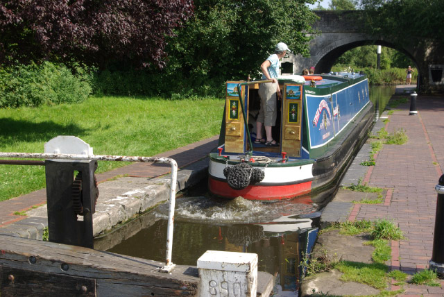
Image: © Stephen McKay Taken: 2 Aug 2007
A boater steers a narrowboat out of Autherley Lock off the Shropshire Union Canal and on to the Staffordshire & Worcestershire Canal. This is a stop lock, with a change in water level of only about three inches, designed to control water movement between the two canals.
Images are licensed for reuse under creativecommons.org/licenses/by-sa/2.0
Image Location
Latitude
52.616399
Longitude
-2.147655