Blue direction signs at the end of a canalside path, Pontnewydd, Cwmbran
Introduction
The photograph on this page of Blue direction signs at the end of a canalside path, Pontnewydd, Cwmbran by Jaggery as part of the Geograph project.
The Geograph project started in 2005 with the aim of publishing, organising and preserving representative images for every square kilometre of Great Britain, Ireland and the Isle of Man.

There are currently over 7.5m images from over 14,400 individuals and you can help contribute to the project by visiting https://www.geograph.org.uk
Blue direction signs at the end of a canalside path, Pontnewydd, Cwmbran
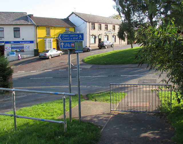
Image: © Jaggery Taken: 5 Oct 2016
This path http://www.geograph.org.uk/photo/5125518 alongside the former Monmouthshire & Brecon Canal ends at the Commercial Street junction. The lower sign points towards the continuation of National Cycle Network Route 49 which extends from the town of Abergavenny in Monmouthshire in the north to the city of Newport in the south.
Images are licensed for reuse under creativecommons.org/licenses/by-sa/2.0
Image Location
Latitude
51.661251
Longitude
-3.027585