Queen?s Park: the end of Broad Avenue
Introduction
The photograph on this page of Queen?s Park: the end of Broad Avenue by Chris Downer as part of the Geograph project.
The Geograph project started in 2005 with the aim of publishing, organising and preserving representative images for every square kilometre of Great Britain, Ireland and the Isle of Man.

There are currently over 7.5m images from over 14,400 individuals and you can help contribute to the project by visiting https://www.geograph.org.uk
Queen?s Park: the end of Broad Avenue
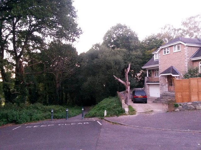
Image: © Chris Downer Taken: 5 Oct 2016
Broad Avenue is a suburban street which follows the course of a historic path, before the suburbs were built. The historical path continues ahead as a public footpath, K48, while another footpath, K18, also leads ahead from here to Wordsworth Avenue. Vehicles here just turn the bend into Normanhurst Avenue, which heads to our immediate right. See Image for a photo just along the path ahead, with links to further pictures along both footpaths.
Images are licensed for reuse under creativecommons.org/licenses/by-sa/2.0
Image Location
Latitude
50.746853
Longitude
-1.846588