Clearview House
Introduction
The photograph on this page of Clearview House by Ian Capper as part of the Geograph project.
The Geograph project started in 2005 with the aim of publishing, organising and preserving representative images for every square kilometre of Great Britain, Ireland and the Isle of Man.

There are currently over 7.5m images from over 14,400 individuals and you can help contribute to the project by visiting https://www.geograph.org.uk
Clearview House
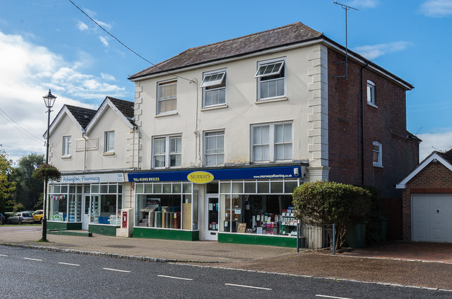
Image: © Ian Capper Taken: 30 Sep 2016
Building in London Road containing a pharmacy and a flooring retailer. The building is marked on the 1875 1:2500 and shown then as a Post Office, a role it continued to play until at least the 1980s.
Images are licensed for reuse under creativecommons.org/licenses/by-sa/2.0
Image Location
Latitude
50.930158
Longitude
-0.390558