Redevelopment of 15, Albion Place
Introduction
The photograph on this page of Redevelopment of 15, Albion Place by John Baker as part of the Geograph project.
The Geograph project started in 2005 with the aim of publishing, organising and preserving representative images for every square kilometre of Great Britain, Ireland and the Isle of Man.

There are currently over 7.5m images from over 14,400 individuals and you can help contribute to the project by visiting https://www.geograph.org.uk
Redevelopment of 15, Albion Place
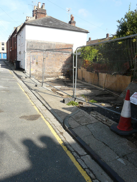
Image: © John Baker Taken: 18 Sep 2016
Planning permission has been granted by Canterbury City Council under application number CA//13/01727 for the “demolition of existing outbuilding and erection of dwelling with associated private amenity space”.
Images are licensed for reuse under creativecommons.org/licenses/by-sa/2.0
Image Location
Latitude
51.281434
Longitude
1.085555