The Old Schoolhouse
Introduction
The photograph on this page of The Old Schoolhouse by Neil Owen as part of the Geograph project.
The Geograph project started in 2005 with the aim of publishing, organising and preserving representative images for every square kilometre of Great Britain, Ireland and the Isle of Man.

There are currently over 7.5m images from over 14,400 individuals and you can help contribute to the project by visiting https://www.geograph.org.uk
The Old Schoolhouse
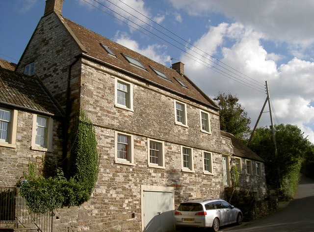
Image: © Neil Owen Taken: 3 Oct 2016
The village made a living from local coal mining during the previous two centuries, so it became prudent to provide some form of education.
Images are licensed for reuse under creativecommons.org/licenses/by-sa/2.0
Image Location
Latitude
51.370095
Longitude
-2.546123