Gateway to Manor Fields, Halam
Introduction
The photograph on this page of Gateway to Manor Fields, Halam by Richard Vince as part of the Geograph project.
The Geograph project started in 2005 with the aim of publishing, organising and preserving representative images for every square kilometre of Great Britain, Ireland and the Isle of Man.

There are currently over 7.5m images from over 14,400 individuals and you can help contribute to the project by visiting https://www.geograph.org.uk
Gateway to Manor Fields, Halam
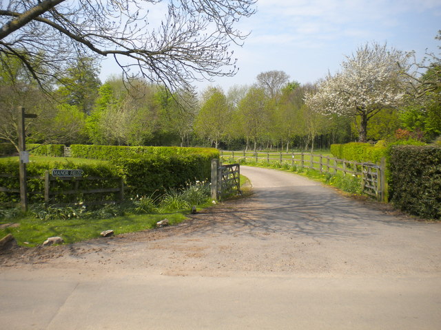
Image: © Richard Vince Taken: 7 May 2016
Off Image, this access road also hosts a public footpath which forms part of the Robin Hood Way.
Images are licensed for reuse under creativecommons.org/licenses/by-sa/2.0
Image Location
Latitude
53.080681
Longitude
-0.99423