Gray Lane, Halam
Introduction
The photograph on this page of Gray Lane, Halam by Richard Vince as part of the Geograph project.
The Geograph project started in 2005 with the aim of publishing, organising and preserving representative images for every square kilometre of Great Britain, Ireland and the Isle of Man.

There are currently over 7.5m images from over 14,400 individuals and you can help contribute to the project by visiting https://www.geograph.org.uk
Gray Lane, Halam
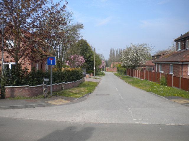
Image: © Richard Vince Taken: 7 May 2016
Off Image The dead end sign is unexpected, as it is marked on both the Landranger and Explorer maps as continuing as a through byway. Perhaps it is unsuitable for motor vehicles beyond a certain point.
Images are licensed for reuse under creativecommons.org/licenses/by-sa/2.0
Image Location
Latitude
53.081821
Longitude
-0.990919