Radley Road or Church Lane, Halam
Introduction
The photograph on this page of Radley Road or Church Lane, Halam by Richard Vince as part of the Geograph project.
The Geograph project started in 2005 with the aim of publishing, organising and preserving representative images for every square kilometre of Great Britain, Ireland and the Isle of Man.

There are currently over 7.5m images from over 14,400 individuals and you can help contribute to the project by visiting https://www.geograph.org.uk
Radley Road or Church Lane, Halam
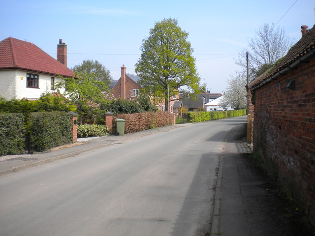
Image: © Richard Vince Taken: 7 May 2016
The maps seem unable to make up their mind as to the identity of this thoroughfare, and show it as "Radley Road or Church Lane". It certainly enters the village from the west as Radley Road, and the church is at its east end, so either would make sense. Perhaps the good denizens of Halam cannot decide either.
Images are licensed for reuse under creativecommons.org/licenses/by-sa/2.0
Image Location
Latitude
53.081118
Longitude
-0.992727