Bridge near Lower Stockclough
Introduction
The photograph on this page of Bridge near Lower Stockclough by Greum as part of the Geograph project.
The Geograph project started in 2005 with the aim of publishing, organising and preserving representative images for every square kilometre of Great Britain, Ireland and the Isle of Man.

There are currently over 7.5m images from over 14,400 individuals and you can help contribute to the project by visiting https://www.geograph.org.uk
Bridge near Lower Stockclough
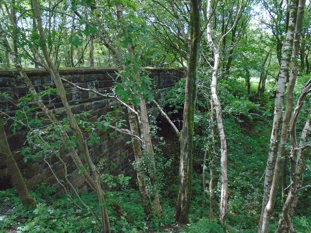
Image: © Greum Taken: 3 Jul 2015
A bridge on the disused Cherry Tree-Chorley railway, now crossed by a footpath leading south-west from Lower Stockclough.
Images are licensed for reuse under creativecommons.org/licenses/by-sa/2.0
Image Location
Latitude
53.716708
Longitude
-2.534696