Marlborough Road
Introduction
The photograph on this page of Marlborough Road by Ian Capper as part of the Geograph project.
The Geograph project started in 2005 with the aim of publishing, organising and preserving representative images for every square kilometre of Great Britain, Ireland and the Isle of Man.

There are currently over 7.5m images from over 14,400 individuals and you can help contribute to the project by visiting https://www.geograph.org.uk
Marlborough Road
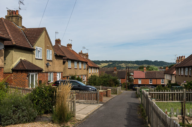
Image: © Ian Capper Taken: 24 Sep 2016
Estate built for the then Dorking Urban District Council in 1925-6. In the background is Box Hill.
Images are licensed for reuse under creativecommons.org/licenses/by-sa/2.0
Image Location
Latitude
51.231112
Longitude
-0.32952