Mount Street
Introduction
The photograph on this page of Mount Street by Ian Capper as part of the Geograph project.
The Geograph project started in 2005 with the aim of publishing, organising and preserving representative images for every square kilometre of Great Britain, Ireland and the Isle of Man.

There are currently over 7.5m images from over 14,400 individuals and you can help contribute to the project by visiting https://www.geograph.org.uk
Mount Street
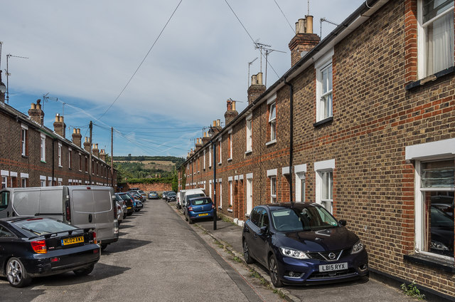
Image: © Ian Capper Taken: 24 Sep 2016
Late Victorian terrace off the end of Arundel Road. Although both sides are identical in appearance, that on the left appears on the 1896 1:2500 map whereas the right hand side of the road is shown as still undeveloped.
Images are licensed for reuse under creativecommons.org/licenses/by-sa/2.0
Image Location
Latitude
51.230445
Longitude
-0.336391