Whitefield Dam, Lennoxtown
Introduction
The photograph on this page of Whitefield Dam, Lennoxtown by Euan Nelson as part of the Geograph project.
The Geograph project started in 2005 with the aim of publishing, organising and preserving representative images for every square kilometre of Great Britain, Ireland and the Isle of Man.

There are currently over 7.5m images from over 14,400 individuals and you can help contribute to the project by visiting https://www.geograph.org.uk
Whitefield Dam, Lennoxtown
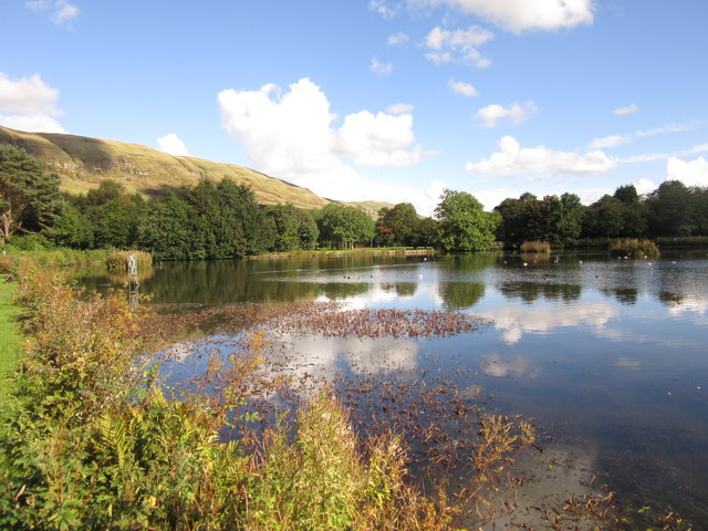
Image: © Euan Nelson Taken: 1 Oct 2016
Whitefield Dam (or Whitefield Pond) was originally constructed in the early nineteenth century to provide a water supply for the local printworks.
Images are licensed for reuse under creativecommons.org/licenses/by-sa/2.0
Image Location
Latitude
55.976929
Longitude
-4.205707