Weir on the Cornmill Stream
Introduction
The photograph on this page of Weir on the Cornmill Stream by Stephen Craven as part of the Geograph project.
The Geograph project started in 2005 with the aim of publishing, organising and preserving representative images for every square kilometre of Great Britain, Ireland and the Isle of Man.

There are currently over 7.5m images from over 14,400 individuals and you can help contribute to the project by visiting https://www.geograph.org.uk
Weir on the Cornmill Stream
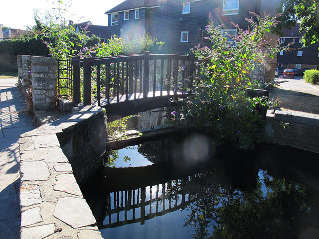
Image: © Stephen Craven Taken: 23 Aug 2016
At this point the stream divides into two branches, flowing either side of the Town Hall before rejoining. One branch flows over this weir, although the water level was below the weir sill on this occasion; the other through a sluice gate Image
Images are licensed for reuse under creativecommons.org/licenses/by-sa/2.0
Image Location


Leaflet Map data © OpenStreetMap
Latitude
51.687999
Longitude
-0.004165