South Terrace
Introduction
The photograph on this page of South Terrace by Ian Capper as part of the Geograph project.
The Geograph project started in 2005 with the aim of publishing, organising and preserving representative images for every square kilometre of Great Britain, Ireland and the Isle of Man.

There are currently over 7.5m images from over 14,400 individuals and you can help contribute to the project by visiting https://www.geograph.org.uk
South Terrace
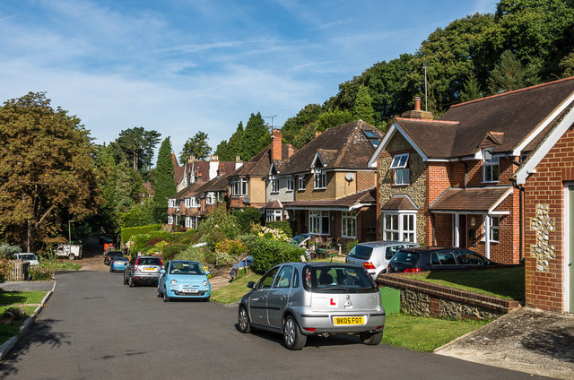
Image: © Ian Capper Taken: 24 Sep 2016
Variety of housing on a road below Tower Hill, originally laid out in the mid 19th Century.
Images are licensed for reuse under creativecommons.org/licenses/by-sa/2.0
Image Location
Latitude
51.223623
Longitude
-0.327199