The Dollis Brook at Whetstone Stray Open Space
Introduction
The photograph on this page of The Dollis Brook at Whetstone Stray Open Space by Marathon as part of the Geograph project.
The Geograph project started in 2005 with the aim of publishing, organising and preserving representative images for every square kilometre of Great Britain, Ireland and the Isle of Man.

There are currently over 7.5m images from over 14,400 individuals and you can help contribute to the project by visiting https://www.geograph.org.uk
The Dollis Brook at Whetstone Stray Open Space
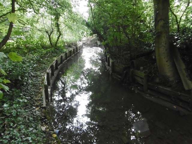
Image: © Marathon Taken: 28 Sep 2016
The Dollis Valley Greenwalk is about ten miles long and runs from Hampstead Heath to join the Dollis Brook near the North Circular Road and then follows the brook to beyond its source at Moat Mount. The Dollis Brook rises at Moat Mount near Arkley, firstly flowing eastwards through the open countryside of Totteridge Fields to Chipping Barnet and then through the suburbs of Barnet to Hendon. Its route can be traced by the thin strip of woodland along the riverbank and ribbon of open land on either side which provides a valuable green corridor. At Hendon the Dollis Brook meets the Mutton Brook and becomes the River Brent which then flows into the Welsh Harp Reservoir and subsequently the River Thames at Brentford. Whetstone Stray Open Space is between Totteridge Lane and Laurel View. This view of the Dollis Brook looks downstream.
Images are licensed for reuse under creativecommons.org/licenses/by-sa/2.0
Image Location
Latitude
51.629112
Longitude
-0.182159