River Taff upstream
Introduction
The photograph on this page of River Taff upstream by Duncan and Gareth Alderson as part of the Geograph project.
The Geograph project started in 2005 with the aim of publishing, organising and preserving representative images for every square kilometre of Great Britain, Ireland and the Isle of Man.

There are currently over 7.5m images from over 14,400 individuals and you can help contribute to the project by visiting https://www.geograph.org.uk
River Taff upstream
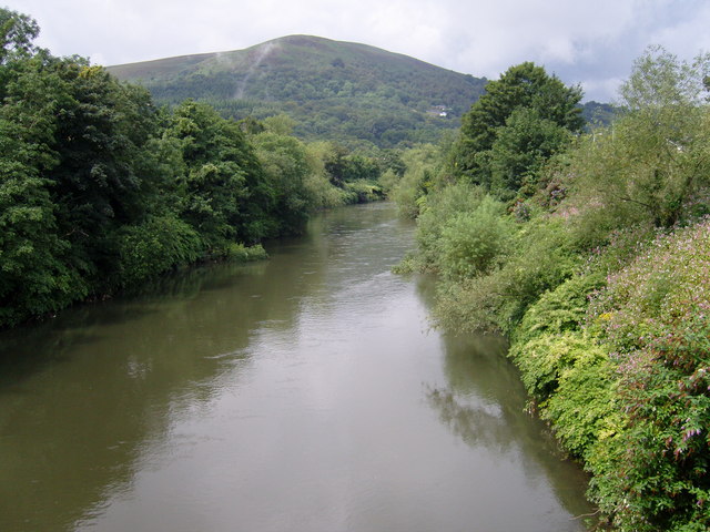
Image: © Duncan and Gareth Alderson Taken: 2 Aug 2007
View from footbridge leading to Gwaelod-y-Garth. Garth Hill is in the distance.
Images are licensed for reuse under creativecommons.org/licenses/by-sa/2.0
Image Location
Latitude
51.541381
Longitude
-3.267712