Conversion of Underdown Works, Underdown Road
Introduction
The photograph on this page of Conversion of Underdown Works, Underdown Road by John Baker as part of the Geograph project.
The Geograph project started in 2005 with the aim of publishing, organising and preserving representative images for every square kilometre of Great Britain, Ireland and the Isle of Man.

There are currently over 7.5m images from over 14,400 individuals and you can help contribute to the project by visiting https://www.geograph.org.uk
Conversion of Underdown Works, Underdown Road
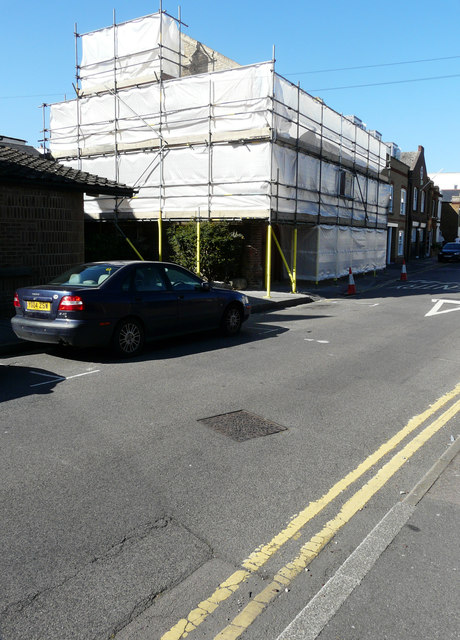
Image: © John Baker Taken: 11 Sep 2016
Planning permission has been granted by Canterbury City Council under application number CA//10/00072 for “conversion of building into 7 self-contained flats with associated internal and external alterations”. These are the Image, after the conversion of the building had been completed.
Images are licensed for reuse under creativecommons.org/licenses/by-sa/2.0
Image Location
Latitude
51.37032
Longitude
1.128893