Farmland near Tregeare Rounds
Introduction
The photograph on this page of Farmland near Tregeare Rounds by William Bartlett as part of the Geograph project.
The Geograph project started in 2005 with the aim of publishing, organising and preserving representative images for every square kilometre of Great Britain, Ireland and the Isle of Man.

There are currently over 7.5m images from over 14,400 individuals and you can help contribute to the project by visiting https://www.geograph.org.uk
Farmland near Tregeare Rounds
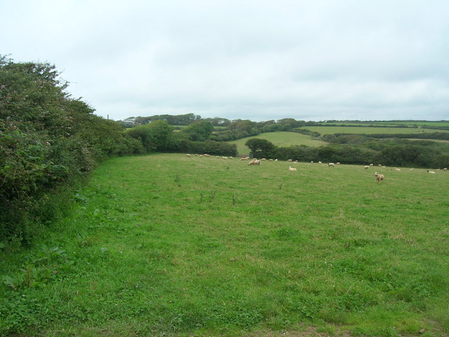
Image: © William Bartlett Taken: 2 Aug 2007
The main road runs along on the other side of the hedge here. Hendra Farm is up on the left in distance.
Images are licensed for reuse under creativecommons.org/licenses/by-sa/2.0
Image Location


Leaflet Map data © OpenStreetMap
Latitude
50.589539
Longitude
-4.777851