Start of the 20 zone, Waterloo Road, Wolverhampton
Introduction
The photograph on this page of Start of the 20 zone, Waterloo Road, Wolverhampton by Jaggery as part of the Geograph project.
The Geograph project started in 2005 with the aim of publishing, organising and preserving representative images for every square kilometre of Great Britain, Ireland and the Isle of Man.

There are currently over 7.5m images from over 14,400 individuals and you can help contribute to the project by visiting https://www.geograph.org.uk
Start of the 20 zone, Waterloo Road, Wolverhampton
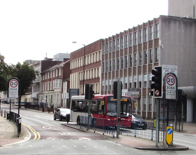
Image: © Jaggery Taken: 17 Sep 2016
The 40mph speed limit drops to 20mph. The signs show Safer for Everyone.
Images are licensed for reuse under creativecommons.org/licenses/by-sa/2.0
Image Location
Latitude
52.58738
Longitude
-2.13265